
Geography of Canada : – By total area (including its waters), Canada is the second-largest country in the world, after Russia. However, Canada ranks fourth by land area alone, due to having the world’s largest proportion of freshwater lakes. Stretching from the Atlantic Ocean in the east, along the Arctic Ocean to the north, and the Pacific Ocean in the west, the country encompasses 9,984,670 km2 (3,855,100 sq mi) of territory.
Canada has Ten Provinces and Three Territories every province and Territories has their own Capital City.
National Capital
Ottawa, located on the Ottawa River, was chosen as the capital in 1857 by Queen Victoria, the great-great-grandmother of Queen Elizabeth II. Today it is Canada’s fourth-largest metropolitan area. The National Capital Region, 4,700 square kilometres surrounding Ottawa, preserves and enhances the area’s built heritage and natural environment.
As on End of 2021, Canada has a Population of 38.49 Million, Most of Canada lives in the City area but some still in the Regional area too. like a small town.
Atlantic Region
Newfoundland and Labrador Capital City St. John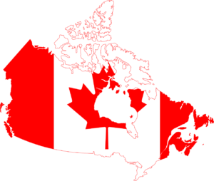
Prince Edward Island Capital City Charlottetown
Novascotia Capital City Halifax
New Brunswick Fredericton
Central Canada
Quebec Capital City Québec City
Ontario Capital City Toronto
Prairie Provinces
Manitoba Capital City Winnipeg
Saskatchewan Capital City Regina
Alberta Capital City Edmonton
West Coast
British Columbia Capital City Victoria
North
Nunavut Capital City Iqaluit
Northwest Territories Capital City Yellowknife
Yukon Territory Whitehorse